Blog features Josse Collection of Holy Land Maps
More than 250 19th- and 20th-century maps illustrate changing borders
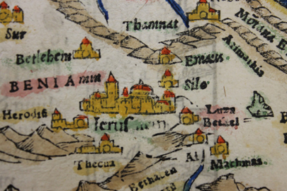
The collection illustrates the changing borders of the region from the late Ottoman period into the British Mandate. According to donor and map collector Jeremy Josse, documenting these changes may augment studies of the historical and social events of this period, particularly those relating to early Zionism.
For more information on the collection and its significance, visit the blog post, written by Katherine Morley, an Archives & Special Collections assistant and master’s degree candidate in anthropology.
Categories: Humanities and Social Sciences, International Affairs