Muriel and Jeremy Josse Collection of Holy Land Maps
November 1, 2012
Description by Katherine Morley, Archives and Special Collections Assistant and MA candidate in anthropology
 The Muriel and Jeremy Josse Collection of Holy Land Maps consists of 253 maps that date predominantly from 1870 to 1923. The majority of the maps are of late-19th- and early-twentieth-century Palestine, but the collection also includes one map of Palestine from the 16th century and several late-19th-century maps of the African continent.The collection was donated to Brandeis in 2010 by Jeremy Josse, who has a larger personal collection of maps dating back to 1500, in hopes that they would be useful for historical research. As the maps are so concentrated in timespan and location, they aptly illustrate the changing borders of the region from the late Ottoman period into the British Mandate. Documenting these changes may augment studies of the historical and social events of this period, particularly those relating to early Zionism (Conversation with Jeremy Josse, 6 November 2012).
 Humans have been mapping their world for centuries. Maps are not just tools for way-finding but are a medium for conceptualizing the world. Though they may purport to represent the world as it is, maps are highly subjective artifacts, and a map’s creation is always situated within the social, cultural and ideological context of the maker. One of the first major works in cartography was the five-book “Geographia” by Ptolemy (circa 90-168), which mapped the world as it was known to the Roman Empire in the second century CE. It is notable for its application of a grid and coordinate system and for the inclusion of a discussion of Ptolemy’s cartographic methods. It is the first work to offer a systematic explanation of latitude and longitude.
After the classical period, sources of knowledge and authority were relocated within a Christian framework. Theology held more influence in cartography than empirical data, and scientific works like Ptolemy’s were largely forgotten. Medieval maps served primarily to illustrate religious or literary texts until the 13th century, when large freestanding maps were created for public display (Whitfield 1994: 12).
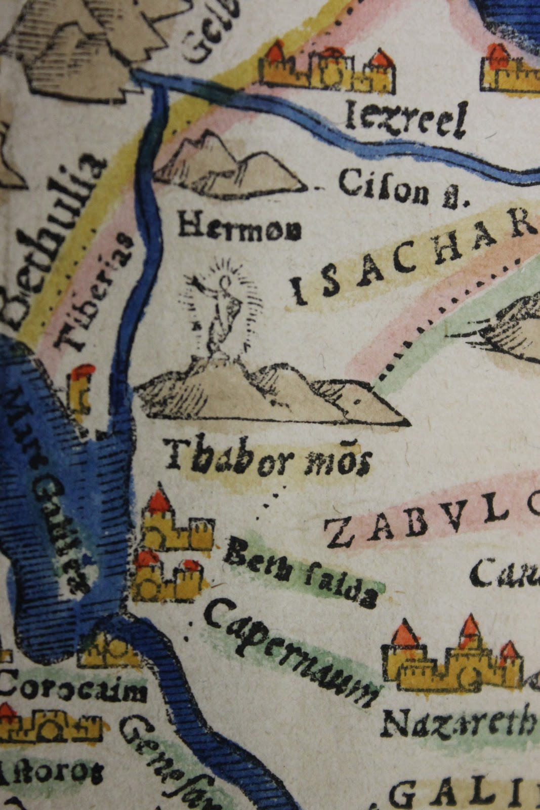 Mount Tabor, site of the Transfiguration of Jesus
In the 14th and 15th centuries, two influences served to secularize map-making. The first was the empirical sea charts created in maritime centers of northern Italy and eastern Spain beginning around 1300. The second (and greater) challenge to religious cartography was the early-15th-century rediscovery of Ptolemy’s geographical works. They appeared first in Latin manuscripts in 1406 and reintroduced concepts such as measuring the earth, precisely locating places through a system of coordinates, and calculating the projection of the spherical earth onto a two-dimensional plane (Whitfield 1994: 36).
The advent of map printing around 1475 reinforced the Ptolemaic model, and it once again became the dominant model for maps (Whitfield 1994: 48). Maps became more accessible and took on new political and commercial dimensions. Printing was important to cartography because of its ability to produce essentially identical copies (Thrower 2007:59). With this came the standardization of a cartographic language. Previously, individual mapmakers used different styles of lettering and had unique ways of representing elements such as relief and wind direction.
 Note that this map is oriented with the West at the top
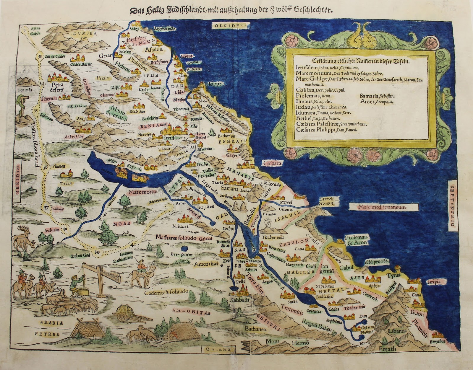
The valley of the Rhine was the center of European cartographic production in the late 15th and the 16th centuries. From this area hailed Sebastian Münster of Basel (1488-1552), who made the first separate maps of the continents, including America (Thrower 2007:85). His most famous production is the 1544 “Cosmographia” (which Brandeis owns in facsimile).This was the first German description of the world and owed much to Ptolemy’s “Geographia” in its style and underlying theory. The most unusual map in the Josse collection at Brandeis is a Münster map dating from around 1540 AD.
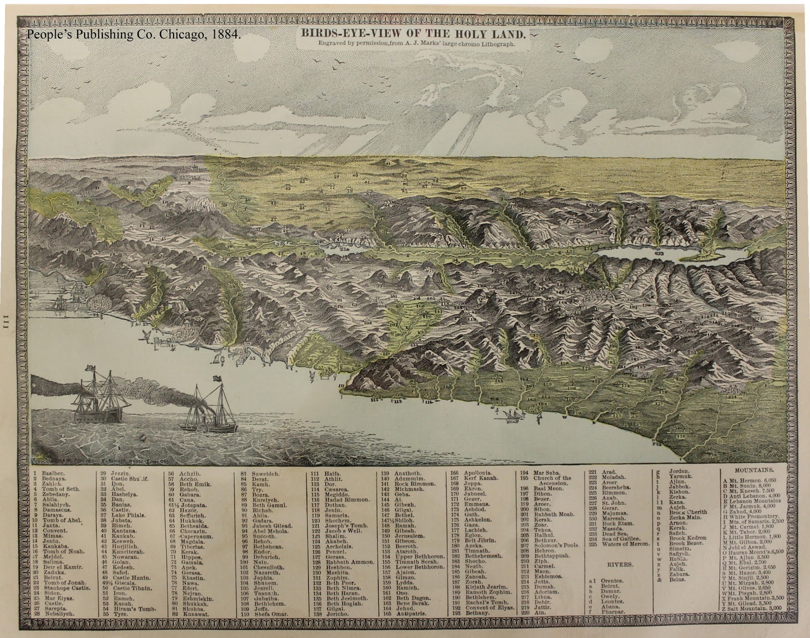
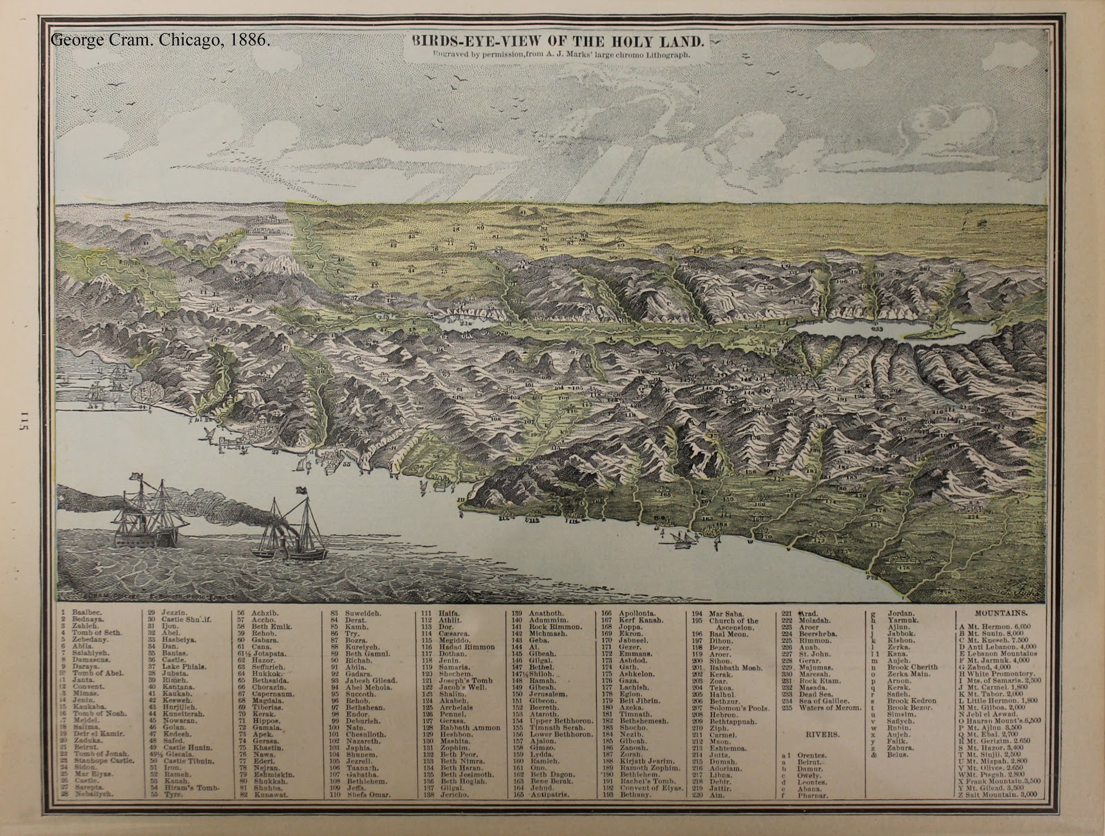
 In the 17th century, the atlas, a systematic and comprehensive collection of maps of uniform size, became the dominant cartographic form. The same plates for atlas maps were sold or bequeathed from one publisher to another and were used, often unaltered, for decades (Bagrow 1964: 180). This trend can be seen in the Josse collection, where maps from different atlases look relatively the same.
 The first half of the 19th century was also a period of great progress for mapping. Commercial and government map publishing grew, and the thematic map, a type of map that illustrates a particular theme within a geographic area, increased in popularity. Atlases and wall maps made the new material more accessible to the public (Thrower 2007:125) Throughout the 1800s, mapmaking continued to standardize. The beginning of the modern period of cartography dates to 1891 and the formal proposal for an International Map of the World (Thrower 2007: 163)
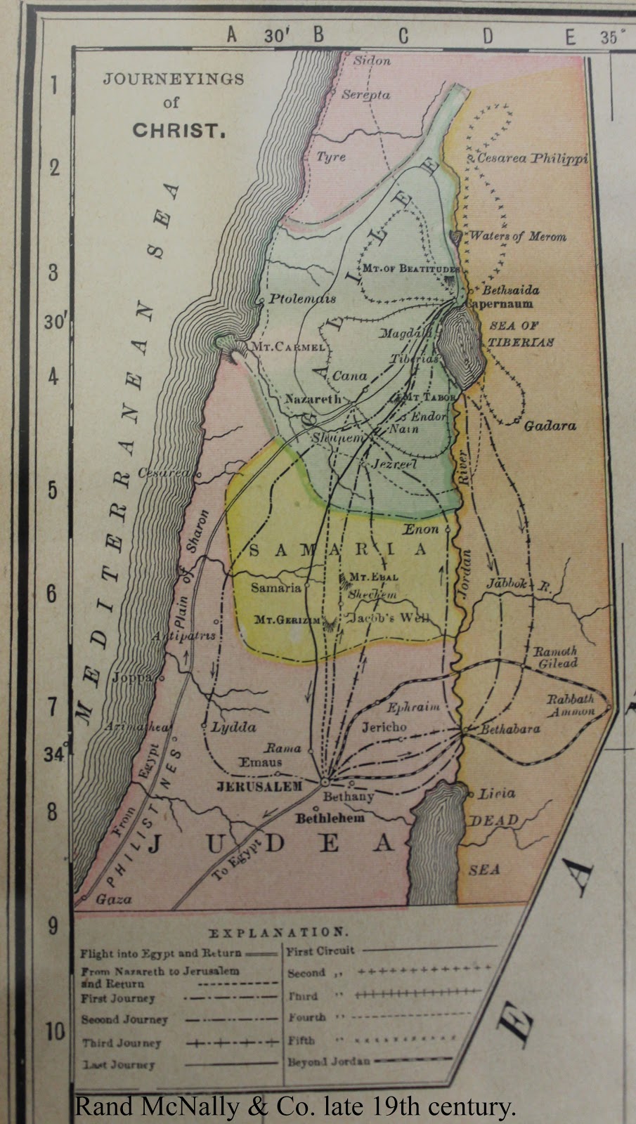
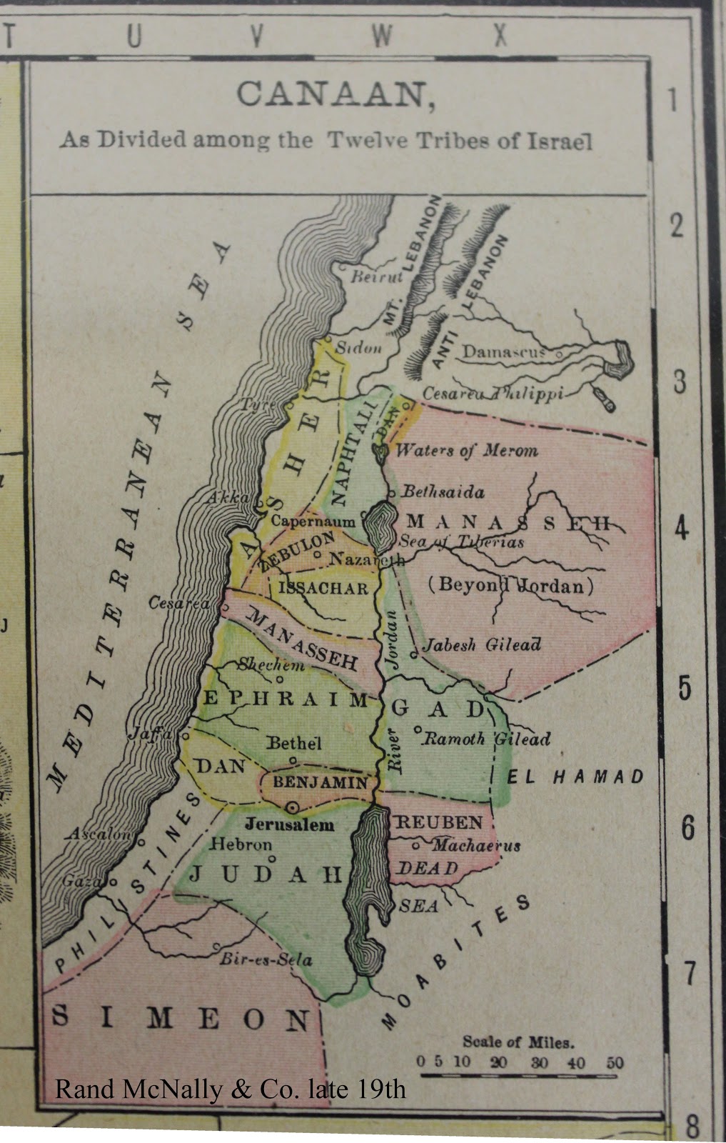
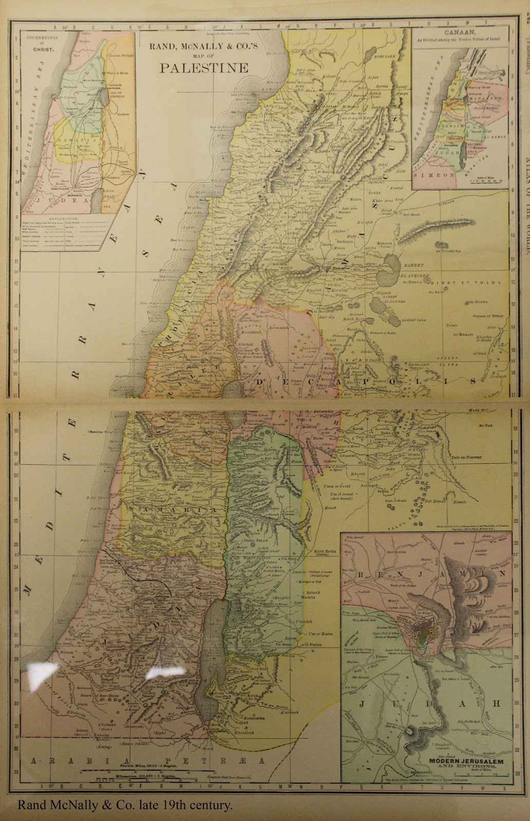
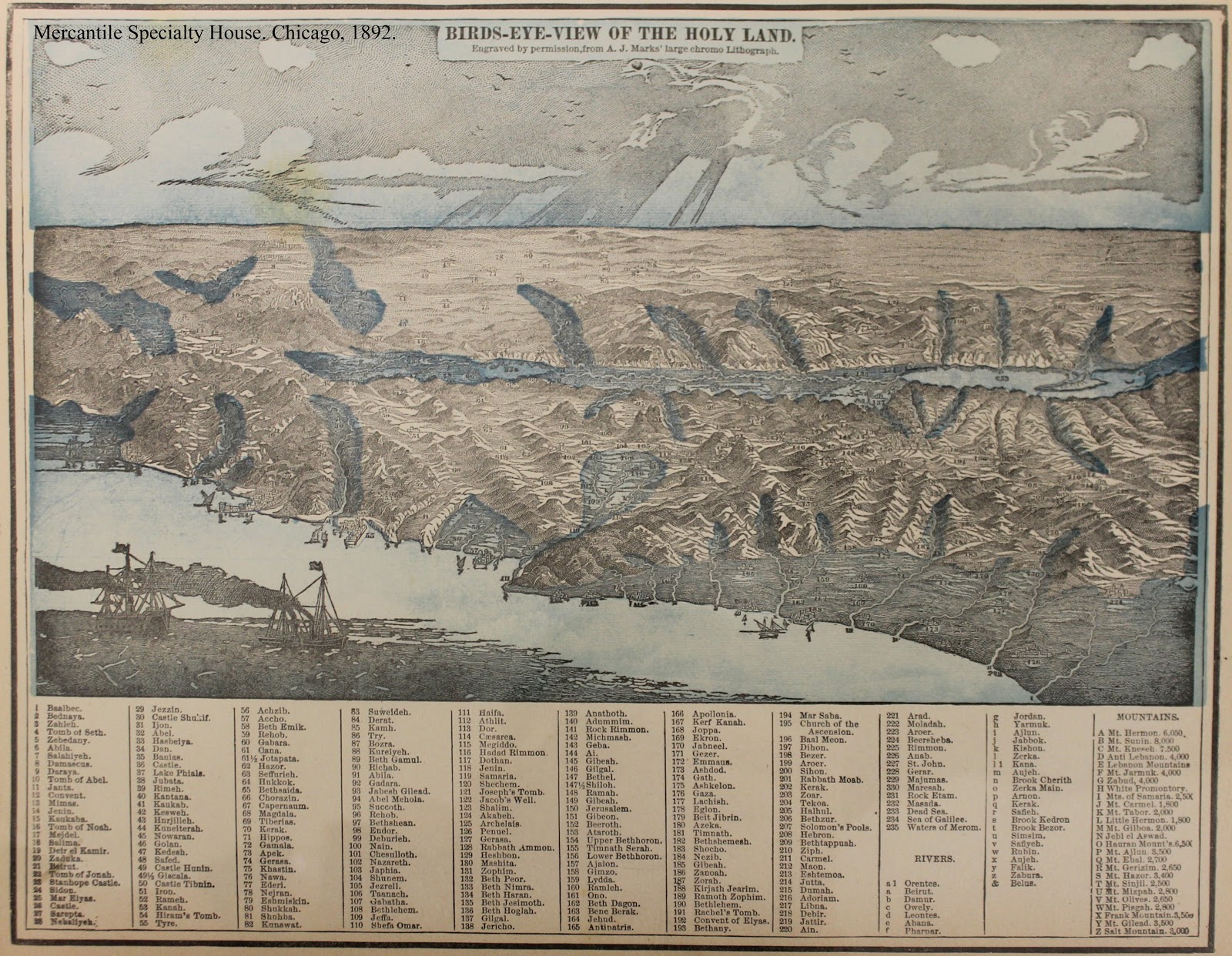
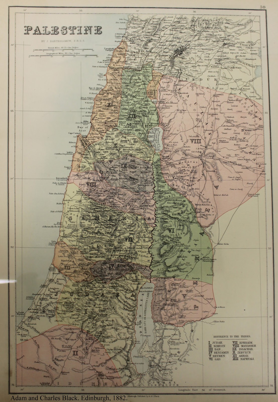
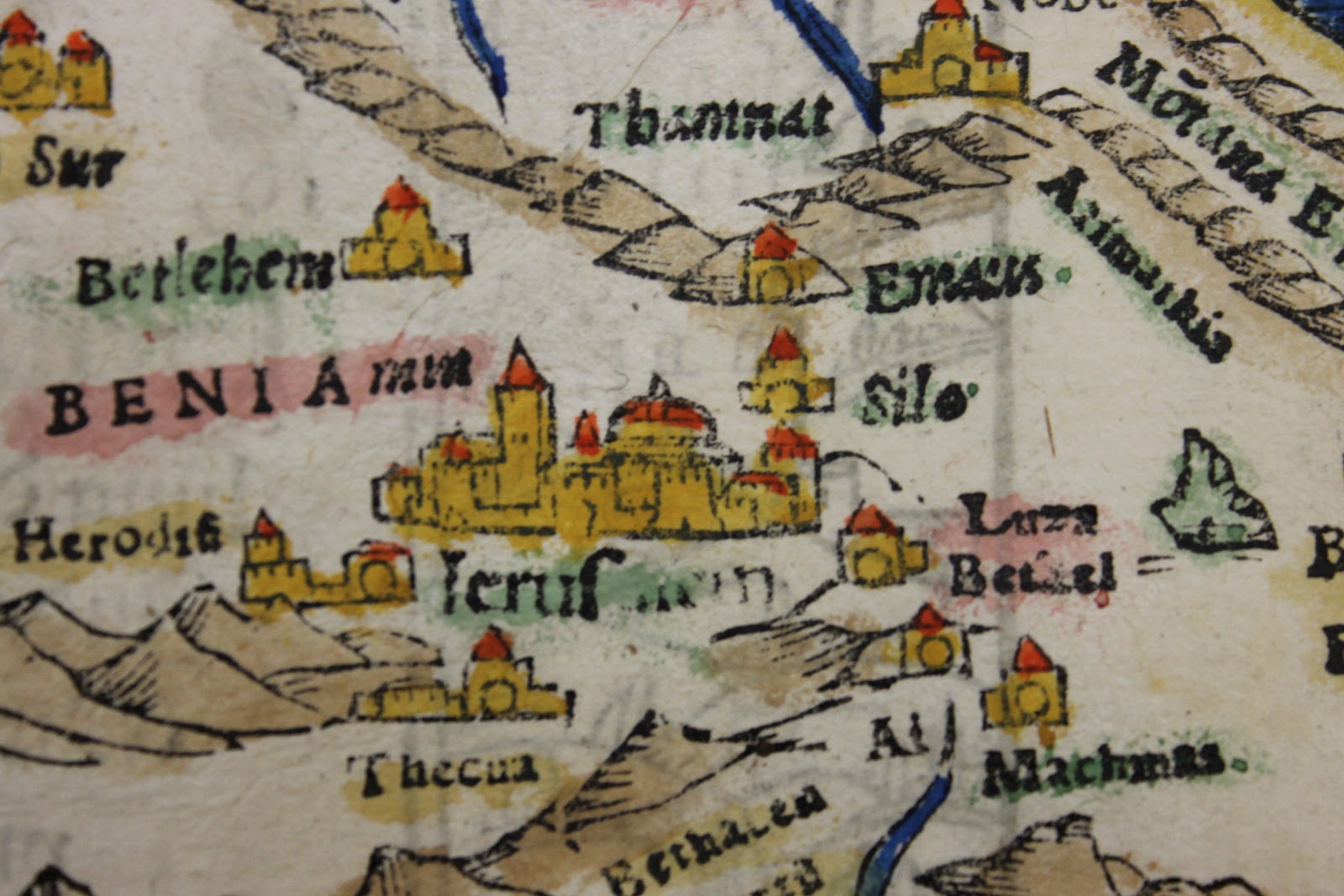
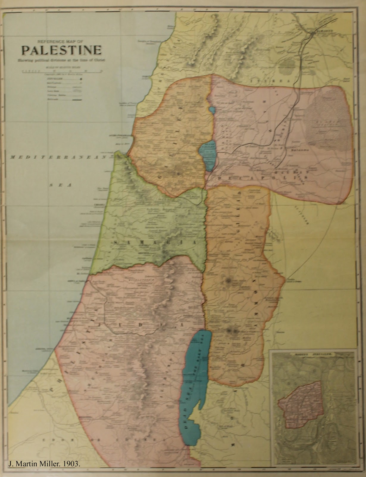
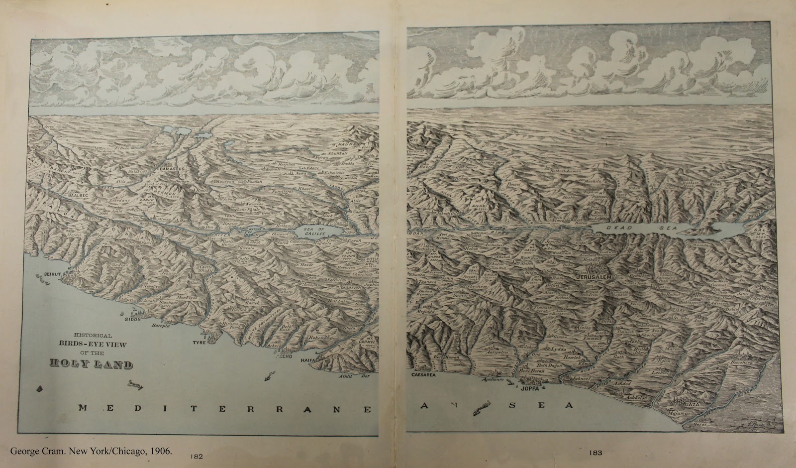
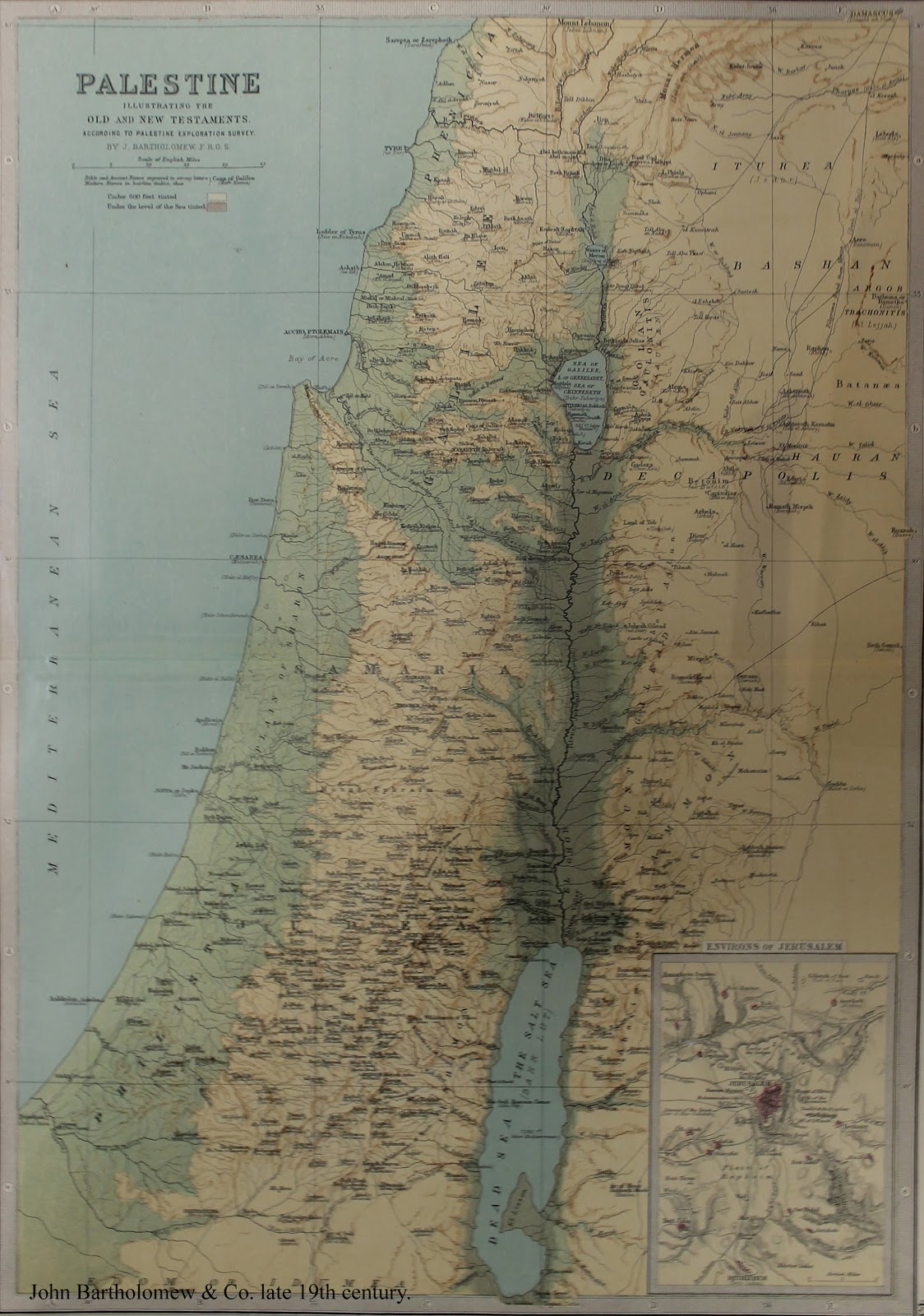
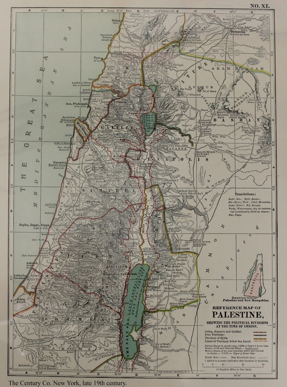
The bulk of the Josse collection at Brandeis is representative of the later period in cartography. In addition to their usefulness in tracking border changes, these maps reveal subjectivities still present in empirical mapmaking. There was not a comprehensive survey of Palestine until 1870; prior to that time there were few political or imperialistic interests in the area, despite its religious significance (Goren 2002: 89). Cartographers relied on historical sources and travelers’ descriptions. This region occupies not just a real space but an imagined historical one as well, one that is discernible in these maps of Palestine.
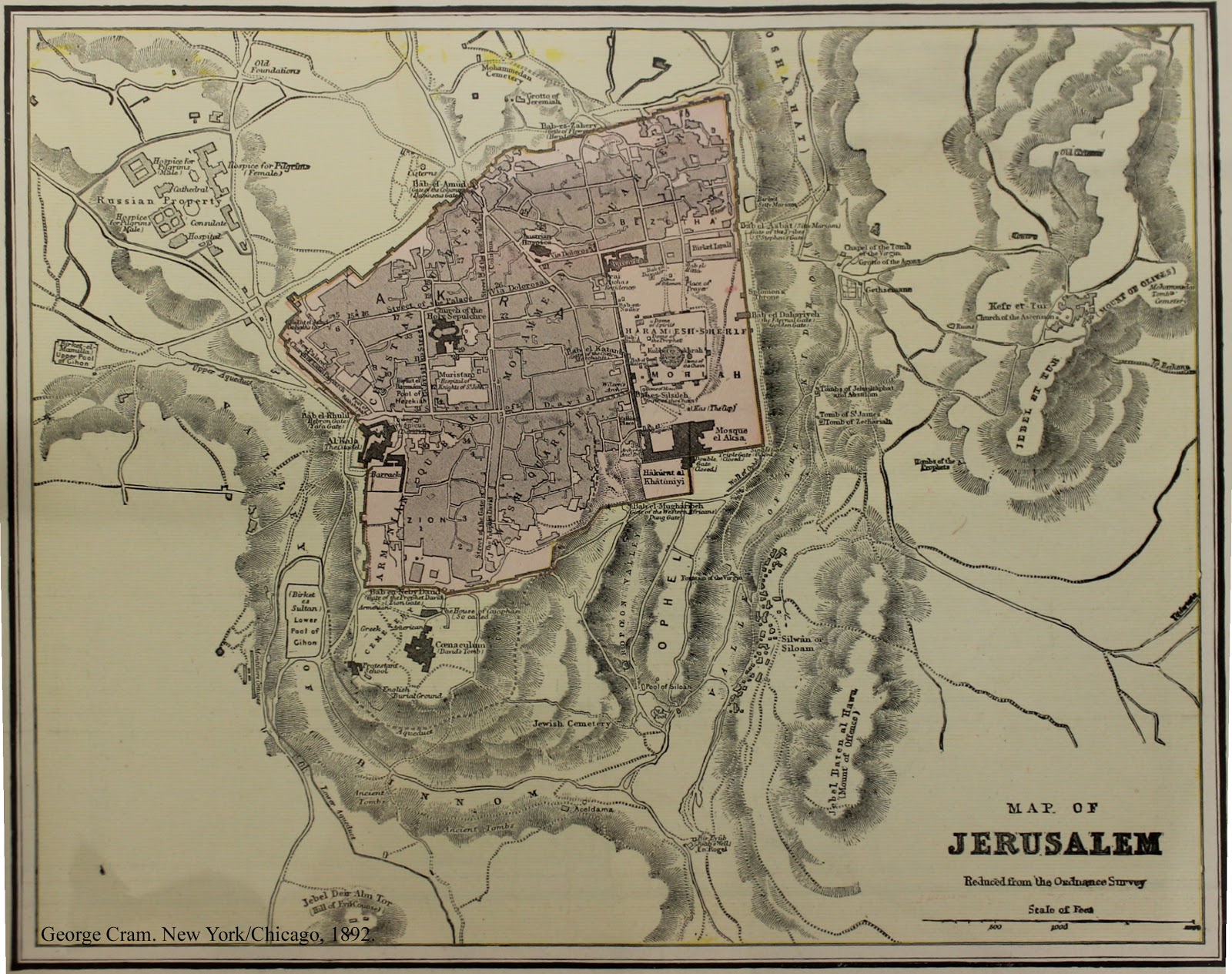 While the maps are not specifically labeled as historical, it is clear how inextricable the biblical history was from the physical reality. Alongside the typical geographic elements, there are insets and glosses of the biblical, often Christian, world. This implies that the mapmaker not only personally thought this information important to include, but that the viewers of the map would deem it important as well, even on an otherwise secular map. This junction of empirical ideal and religious imagination makes these maps all the more fascinating.
References
 Bagrow, Leo. History of Cartography. Cambridge, MA: Harvard University Press, 1964.
Goren, Haim. “Sacred, but Not Surveyed: 19th-Century Surveys of Palestine” Imago Mundi. Vol. 54 2002, pp. 87-110.
Long, Burke O. Imagining the Holy Land: Maps, Models, and Fantasy Travels. Bloomington: Indiana University Press, 2003.
McLean, Matthew. The “Cosmographia” of Sebastian Münster: Describing the World in the Reformation. Burlington, VT: Ashgate, 2007.
Thrower, Norman J.W. Maps & Civilization: Cartography in Culture and Society. Chicago: University of Chicago Press: 2007. 3rd Edition.
Whitfield, Peter. The Image of the World: 20 Centuries of World Maps. San Francisco: Pomegranate, 1994.